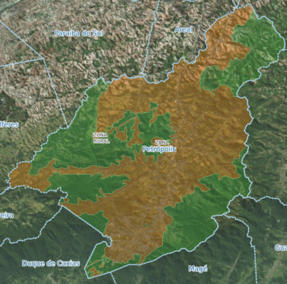
Mapa Urbano e Rural - Lei 8674/2023 (Link p/ a Defesa Civil - Áreas de Risco)
Publico
Searching
Connect
Home
Layers
Information
Profil
Filter
Locating
Geolocation
Print
Measure
Permalink
Draw
Layers
Information
Profil
Filter
Base Layer
Title
Mapa Urbano e Rural - Lei 8674/2023 (Link p/ a Defesa Civil - Áreas de Risco)
Projection
EPSG:31983
Extent
501259.5079000000259839, 7384312.40770000033080578, 929513.38729999994393438, 7732070.83770000003278255
Click on the map to get the elevation
Departure altitude :
Arrival altitude :
Close
Maximize
×
Locating
×
Geolocation
×
Print
Template
Scale
DPI
100
200
300
PDF
JPG
PNG
SVG
Print
×
Measures
Length
Area
Perimeter
Angle
×
Permalink
Share
Embed
Small
Medium
Large
Personalized
×
×
Draw
Locating
Geolocation
Print
Measure
Permalink
Draw
No deeper zoom available for this base layer
Close